NAIROBI, Kenya, Aug 21 — Makueni County is turning to satellite imagery, artificial intelligence and geographic information systems (GIS) to determine where rural roads should be built or upgraded, in a move officials and engineers say could reduce the cost of infrastructure projects and help stretch limited public resources.
The county has partnered with Israeli-linked engineering and environmental solutions company AnyWay Solutions to pilot a data-driven road asset-management system that officials say could reduce the cost and time involved in planning, maintaining and upgrading rural roads.
The approach seeks to address a dilemma that has long beset rural road projects: establishing not only whether roads are needed, but where investment will give the greatest return before construction begins or becomes a regular maintenance burden.
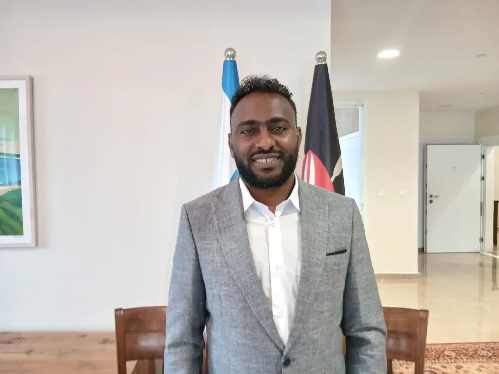
AnyWay, Solutions East Africa Regional Manager Solomon Nigusie said technology would allow engineers to assess multiple factors before construction begins, potentially reducing costly errors in road planning.
“We will look at population, health, the location of health facilities and the populations, as well as weather conditions. We use GIS, satellites and AI technologies to identify where these community factors are located,” Nigusie said.
“This will minimize our costs. Building a road is not only the solution; we need to know where to build the road.”
Under the pilot, satellite imagery, GIS, drones, artificial intelligence, rainfall information and other datasets will be used to assess the road network and determine where investment is likely to have the greatest impact.
Nigusie said the technology could help engineers conduct feasibility assessments before committing resources to construction.
“So, before we build, we will check and conduct a feasibility study using technology, drones and satellites. It will tell us where to go with the road, minimizing the cost and minimizing the time,” he said.
The system is expected to consider population distribution, access to health facilities and other services, agricultural activity, terrain, weather conditions and other factors when determining road priorities.
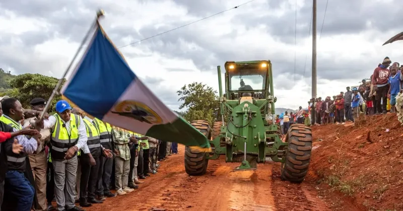
The idea is particularly relevant in Makueni, where the county manages more than 14,000 kilometres of roads, much of it made up of earth, murram and gravel surfaces that require regular maintenance.
County officials say heavy rains can quickly turn the network into a major economic liability, cutting off communities and forcing authorities to divert resources towards emergency repairs.
Digital record for roads
Makueni County Executive Committee Member for Transport and Infrastructure Engineer Peter Mumo said the partnership would give the county a digital record of its road assets and improve its ability to respond before damage becomes severe.
“We are moving a notch higher in being able to document and digitize our road asset infrastructure, which runs to beyond 14,000 kilometres, largely made up of murram or weather roads that require continuous maintenance,” Mumo said.
He said having real-time information on the condition of the network would allow the county to make maintenance decisions before residents are forced to report problems.
“We will not wait for the people to react before we act. We will have this information at our fingertips, and that way we will be able to make informed decisions well in advance,” he said.
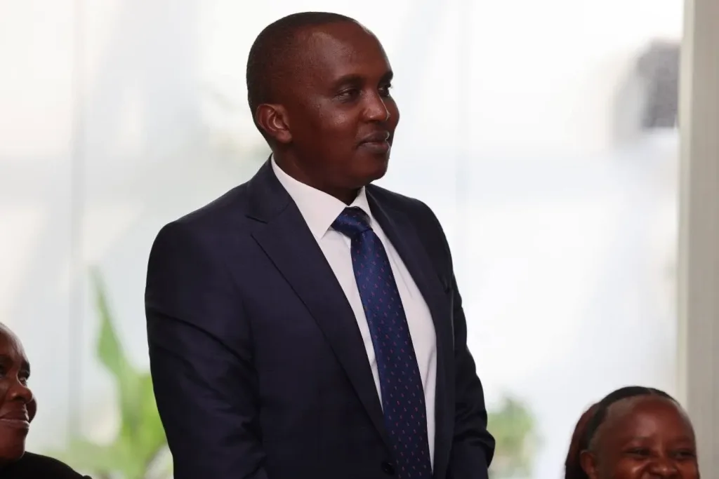
The system could also be particularly useful during periods of heavy rainfall, when flooding and poor drainage can rapidly damage rural roads.
“Having the capacity to monitor in real time what is happening on the ground will present a very important capability for us to sort out issues affecting our people within the shortest time possible,” Mumo said.
For AnyWay, however, the technology is not simply about monitoring existing roads.
Where to build
Nigusie said its greater value could be in helping governments avoid investing in poorly planned routes in the first place.
“Knowing where to build the road is very important,” he said.
“It is very affordable when you are aware of where to build the road and where to focus, especially when you have limited resources.”
The approach could help counties avoid the costly assumption that rural road development means constructing roads everywhere.
“Like Kenya and other developing nations, we must not build roads everywhere. We must know where to build. We must know where the population is and where to put the hospital,” Nigusie said.
AnyWay, said the satellite data would be sourced from private providers, with the company combining satellite information with engineering assessments and AI technologies.
“We use different satellite technologies. They are private. We hire them from private satellite providers. So, we use engineering, satellite and AI technologies,” Nigusie said.
The Makueni programme will begin as a pilot, with the partners expected to assess its performance before considering expansion to other counties.
“Makueni is the beginning,” Nigusie said, adding that successful implementation could provide a model for transferring the technology and knowledge to other county governments.
He said the company had already used similar technology in other projects and would work with Makueni engineers rather than operate the system independently.
The partnership is also intended to emphasise technology transfer and local capacity building, allowing county engineers to acquire the skills needed to use the tools beyond the pilot.
“We want to move forward from today. It is about our collaboration with the county, and we have already discussed with the engineering team of the county how to move forward as soon as possible,” Nigusie said.
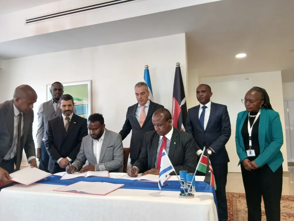
Makueni Governor Mutula Kilonzo Jr. said the technology could help the county stretch limited resources, particularly given the scale of its road network and vulnerability to heavy rains.
“If we can use even a small part of the technology from AnyWay, we would save our resources and transfer them to something like agriculture,” Kilonzo said.
Israeli Ambassador to Kenya Gideon Behar said the technology could help Makueni decide where to direct its limited infrastructure budget while preparing for climate-related risks.
“This MOU with AnyWay is really a good one because it enables you to know where to put your money, where to put your effort and where to invest in order to increase efficiency and prepare yourself for the eventualities of the climate crisis,” Behar said.
The MOU itself does not award AnyWay a road construction contract or commit the county to financing the programme.
Implementation is dependent on external funding, while any future procurement would require a separate contract.
If successful, Makueni’s experiment could offer other cash-strapped county governments a new way to approach rural infrastructure by using data not merely to identify roads that need repair, but to determine where a road investment is most likely to pay off before construction begins.